Revealing what lies beneath.
OUR TECHNOLOGY
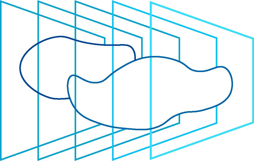
We build a unique solution for subsurface tomography based on spectral ground penetrating radar and advanced analytical software, to deliver geological information of unprecedented quality.

Spectral GPR is a next-generation solution based on the high-speed radar with low emission of electromagnetic waves, meeting the stringent environmental EMC standards.

KEY ADVANTAGES:
01. BROADBAND ANALYSIS
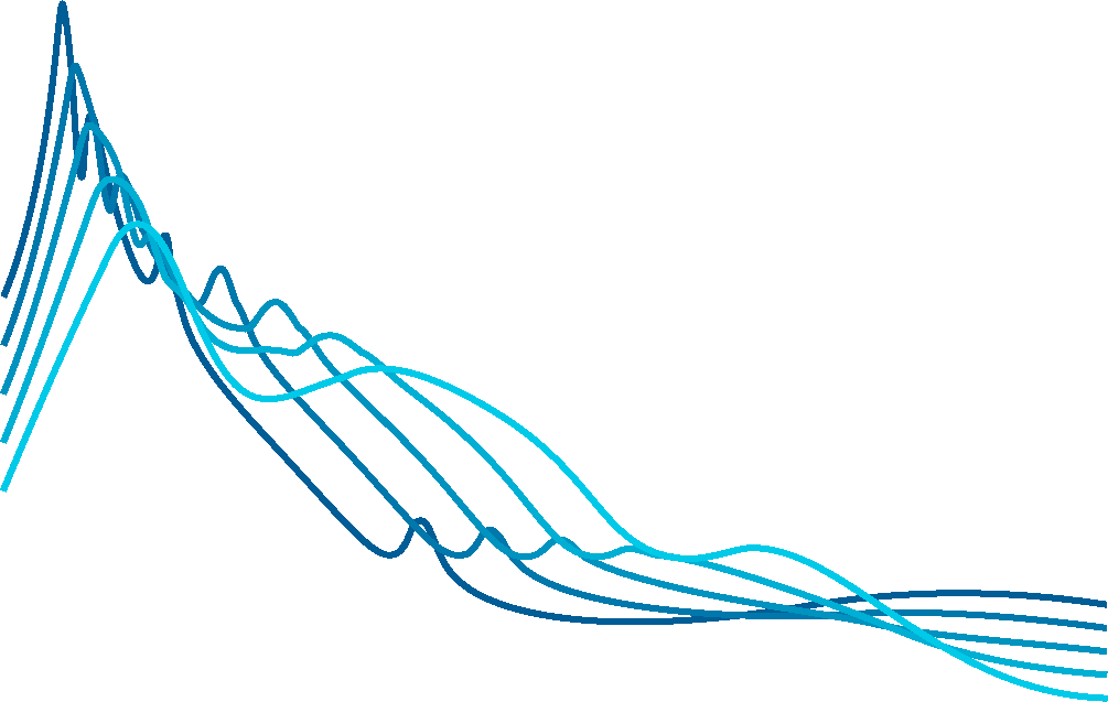
SGPR allows for real spectral analysis by tuning in a wide frequency range and thanks to its low transmission power and long exposure time, we can precisely analyse each frequency separately
02. HIGH RESOLUTION
Higher resolution translates into accurate identification of individual layers and objects. Additionally, frequency analysis allows us to recognize the granularity of layers that are difficult or outright impossible to distinguish for conventional GPR
03. DEEP PENETRATION
Significantly improved signal-to-noise ratio allows for much deeper penetration while maintaining high resolution – we consistently reach over 50m underground

To fully embrace the potential of our SGPR technology, we built advanced analytical software with machine learning algorithms taught on both real-world data and advanced simulations – allowing for automatic and effective recognition of subsurface structures.

KEY ADVANTAGES:
04. SYNTHETIC ECHO MODELING
By modeling how the signals seen by the radar should look, we can better understand and analyse the collected data – which allows us to build advanced algorithms that unravel the geometry and composition of subsurface layers
05. ADVANCED SIGNAL PROCESSING
We have developed and automated many algorithms and analytical processes that enable us to produce high resolution echograms without artefacts and measurement errors allowing for accurate representation of the geological structure and subsurface infrastructure
06. MATERIAL RECOGNITION
Thanks to the applied spectral analysis, we will ultimately be able to recognize materials using their characteristic frequency signatures
Accurate subsurface information, anytime, anywhere.

01. GEOPHYSICAL SERVICES
We are able to provide services wherever accurate information about the subsurface is needed – quickly and with high accuracy, complementing geological information between boreholes or providing preliminary surveys for planning a further investigation.
02. MINING SERVICES
Accurate information about the subsurface is crucial for the successful planning and operation of an open pit mine, while ensuring the safety and efficiency on site.


Penetrating through your toughest challenges with ease.

COMING SOON
01. INDUSTRIAL DETECTORS
Sensors play a critical role in industrial automation and we aim to provide our customers and partners with optimised detectors based on our unique SGPR which are designed to be durable and long-lasting, with low maintenance requirements.
02. CITY MAPPING
Underground information is crucial for cities as it helps with infrastructure planning, utility maintenance, and emergency response. It is essential for the safety and efficiency of urban environments.

ABOUT US
We are a diverse team of academics, technology and business professionals devoted to the idea of bringing a true change to subsurface surveying processes.
MEDIA
For media inquiry contact Dominika Rajczykowska: [email protected]

Rzeczpospolita | 30.05.2023
“Polska sztuczna inteligencja zajrzy pod ziemię i odkryje bogactwa”
Business Insider | 14.05.2023
“Istnieją trzy takie urządzenia. Jedno jest na Marsie, dwa mają Polacy”
wnp.pl | 11.05.2023
“To innowacyjne urządzenie na skalę światową i stworzył je polski start-up”